Our LiDAR Services
Easora delivers cutting-edge LiDAR (Light Detection and Ranging) solutions for high-precision 3D mapping and spatial data acquisition. We process complex point cloud data into actionable intelligence for infrastructure planning, telecom tower modeling, and terrain analysis.
What We Offer
Point Cloud Processing
Classification and filtering of raw LiDAR data to generate accurate digital elevation and terrain models.
3D Feature Extraction
Vectorizing buildings, roads, vegetation, and utility lines from dense point cloud environments.
Telecom Tower Analysis
High-resolution LiDAR scans of telecom towers for structural assessment and equipment mapping.
Topographic Mapping
Detailed contour generation and surface modeling for infrastructure and civil engineering projects.
As-Built Documentation
Creating precise digital twins of existing industrial facilities and plants for maintenance and upgrades.
Volumetric Analysis
Accurate volume calculations for mining, earthworks, and stockpile management using 3D spatial data.
Our Work
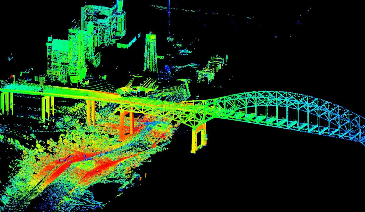
High-precision point cloud processing and 3D modeling
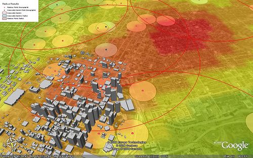
Integration with GIS for comprehensive spatial analysis
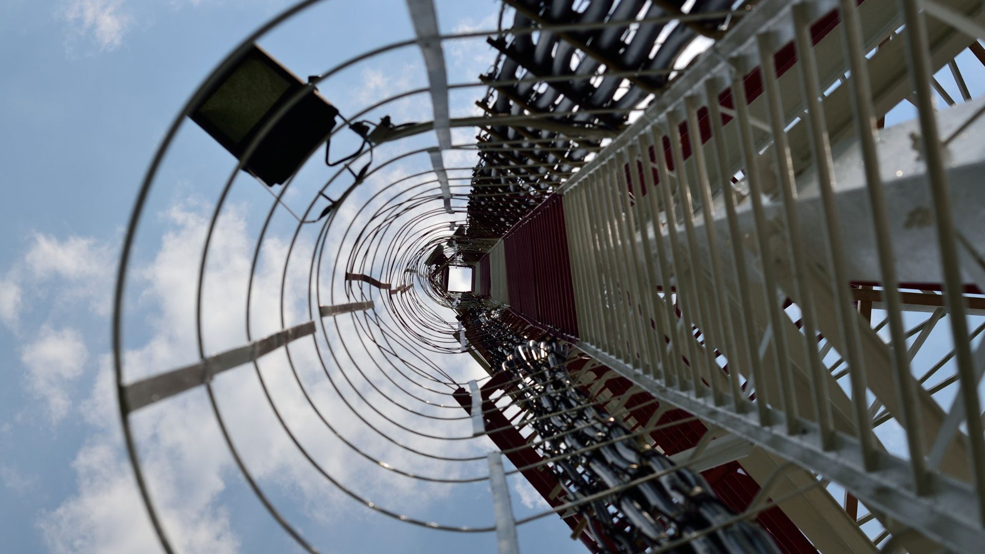
LiDAR scanning for telecom infrastructure assessment
Ready to Start Your Project?
Contact us today to discuss your LiDAR processing requirements
Get in Touch